


Air Traffic Control Zones
Traveling by air is one of the most incredible things about living in the times we are in. Centuries ago, people could only dream of flying from one place to the other, and now we can even use WiFi aboard planes. Here is a map of the air traffic control zones above the United States.
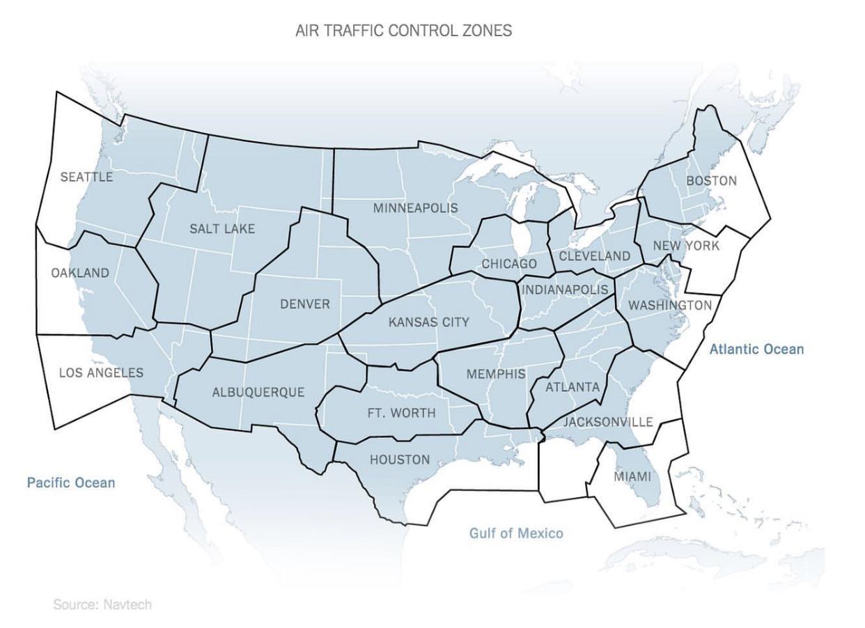
Air Traffic Control Zones
States Resized According To Population Density
We tend to forget just how vast the entire country of the United States really is, since we usually think about states individually. In this map, each state is resized according to population density. This helps explain the distribution of electoral votes for every state as well.
ADVERTISEMENT
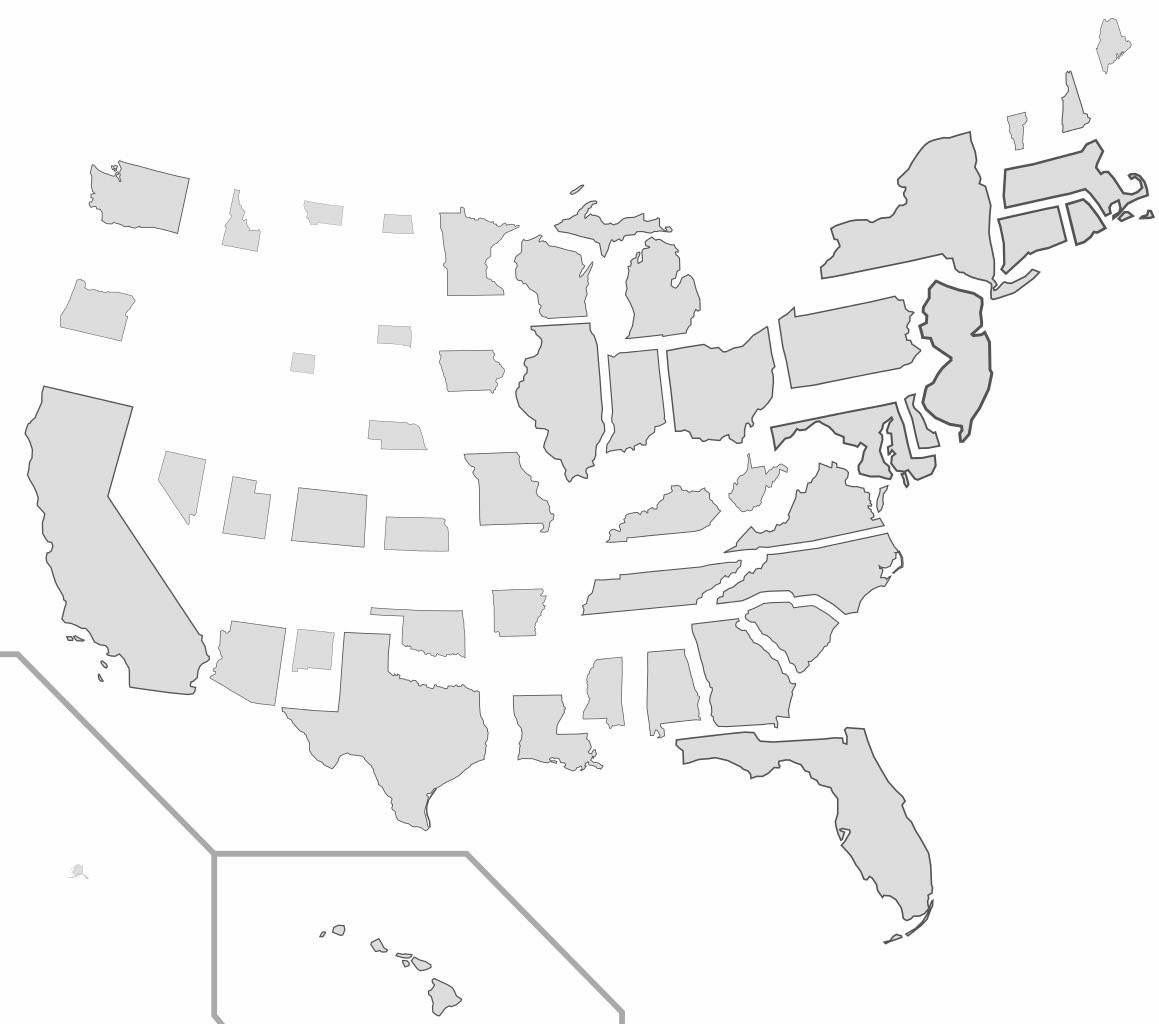
States Resized According To Population Density